A cold front moves in by daybreak Thursday | 4/19PM
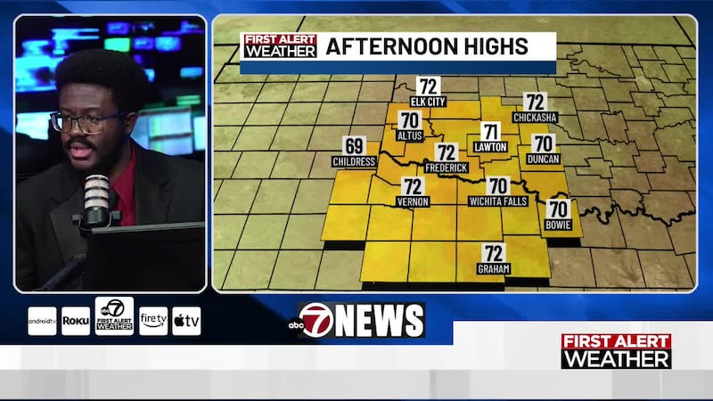
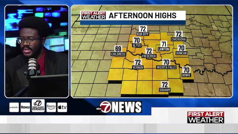
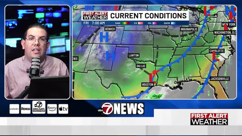
LAWTON, Okla. (KSWO) - A cold front moves in overnight and we’ll see wind gusts in the low 40s for most locations out of the northwest. Winds will remain a bit gusty during the morning hours but will diminish as the day goes on. Cloud cover will also gradually clear throughout the day. Highs will be near average with many in the upper 70s to low 80s. A few showers may develop along the cold front but the coverage remains very low.
By Friday, we’ll see a mix of sun and clouds with highs in the upper 60s. North winds at 10 to 15mph. Anticipated wind gusts in the mid 20s. I expect that most locations will stay dry but light, isolated showers can’t be ruled out for areas along I-40.
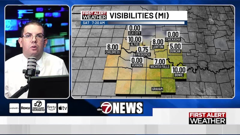
Saturday will be a dry day with clouds north and sunshine south. High temperatures will only rise into the mid 60s as a reinforcement of colder air moves in Friday night. Sunday appears to be the coldest day on the 7-day forecast with highs only reaching the upper 50s to low 60s. Here’s something to put into perspective, 59 degrees is what I’m forecasting for the LOW on Thursday morning. 59 degrees is what I’m forecasting for the HIGH in Lawton on Sunday (sweatshirt weather indeed). Not only will Sunday be cool, it’ll be cloudy with widespread rain showers. Light northeast winds at 5 to 15mph.
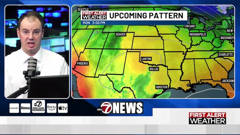
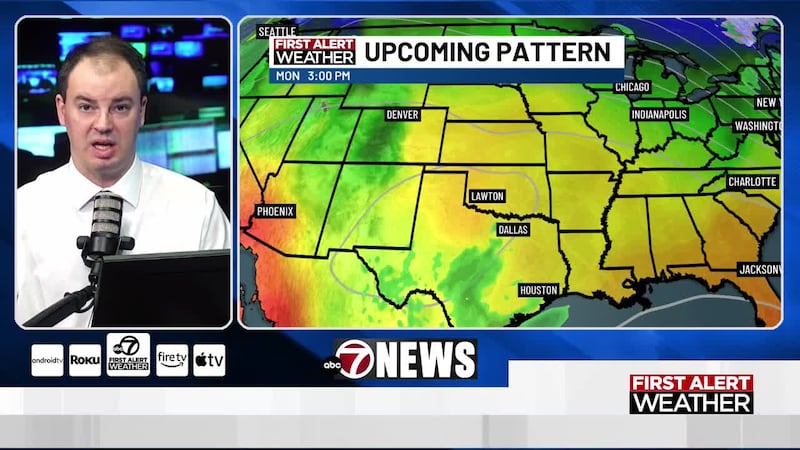
Monday and Tuesday will also consist of cool, cloudy and rainy conditions with most of next week remaining somewhat active.
Have a great Thursday! -LW
Copyright 2023 KSWO. All rights reserved.