Two main rounds of showers and storms expected for Thursday | 5/10PM
LAWTON, Okla. (KSWO) - Not everyone will see showers or storms tomorrow but the threat appears possible for two different areas at two different times. First, temperatures by daybreak tomorrow will drop into the low 60s with light southeast winds. The first round of showers is expected to impact our western counties tomorrow morning mostly between the hours of 5-9AM. Although a few stray showers can’t be ruled out from 9AM-12PM. As this line of showers moves in, it’ll weaken and dissipate as it moves east closer to I-35. In the strongest storm, look for quarter sized hail and up to 60mph wind gusts along with lightning, thunder, heavy rain.
There will be a brief break in the rain before round two moves in. Skies will be partly cloudy with highs in the upper 80s for those along and west of I-44. Highway-81 counties will only reach the upper 70s and low to mid 80s. South winds at 10 to 15mph. Anticipated wind gusts in the low 30s.
Round two has the potential to produce impactful severe weather. The good news about that statement, the best chance for that threat will exist highest for central and northern Oklahoma. Now with that said, southwest Oklahoma is not completely in the clear. Storms will start in Harmon county around 4 in the afternoon. Storm coverage will increase slightly through Kiowa and Washita counties and will continue to intensify through Caddo county. A few storms can’t be ruled out for eastern Stephens, Jefferson and Montague counties around 7PM. All hazards are possible given the ingredients in the atmosphere which include baseball sized hail, 60 to 80mph wind gusts and potentially significant tornadoes. However, as I stated earlier the greatest potential for severe weather will include Chickasha, OKC up to Enid. Our viewing area, I believe we will see hazards of quarter to golf ball sized hail, 60 to 70mph wind gusts and a very low, isolated but not zero tornado threat. Storm coverage is low so many areas won’t see any storms at all.
All activity will wrap up by 9 in the evening.
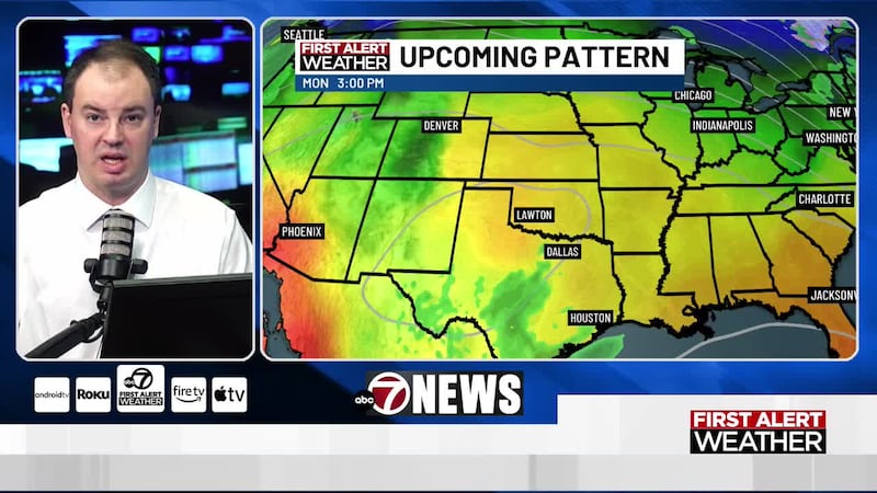
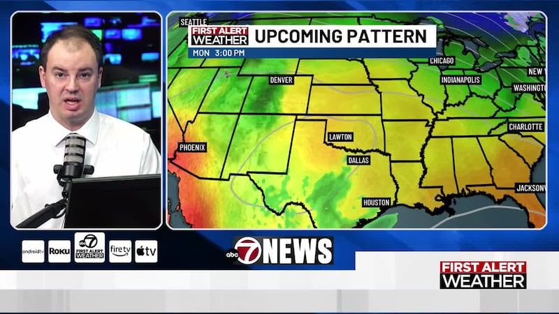
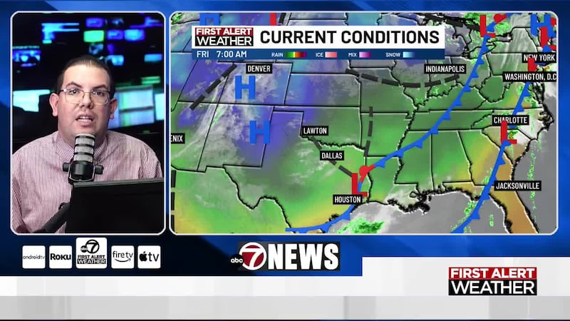
A cold front is expected to move in Friday afternoon/ evening. This front may support severe storms with large hail again by the mid-afternoon. Slow moving storms will also lead to a flooding concern. Friday will see a mix of sun and clouds, outside of showers and storms, with highs in upper 80s east to mid 90s west. South to north winds at 5 to 15mph.
That cold front will eventually stall resulting in widespread rain through the weekend. The stalled boundary is going to lead to decent rainfall amounts where flooding becomes a concern. Most areas could receive between 2-4 inches!
Because of the cold front, highs on Saturday and Sunday will drop into the mid 70s. Light northeast winds at 5 to 15mph both days.
Have a great Thursday! -LW
Copyright 2023 KSWO. All rights reserved.